Google Pauses New Google Earth AI Feature Over Fake Imagery Concerns
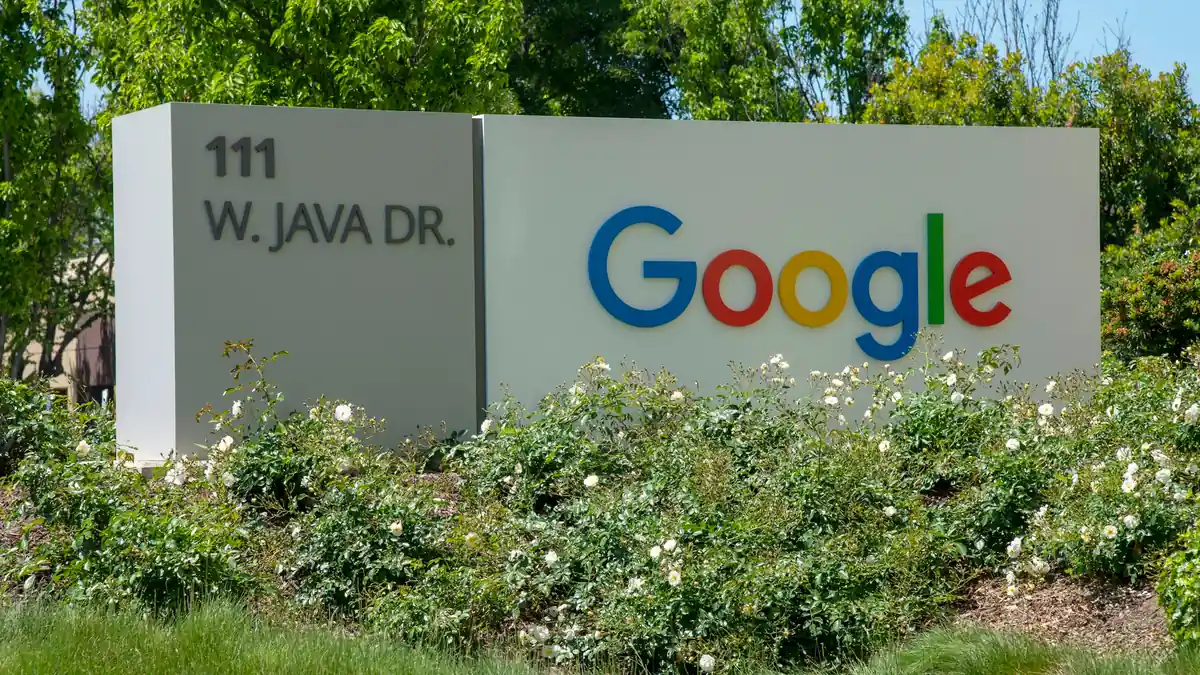
Less than 48 hours after launching a new AI feature in Google Earth, Google has frozen the tool due to concerns that it allows for the creation of fake satellite imagery, which could be used to spread disinformation.
Less than 48 hours after launching the new artificial intelligence feature in Google Earth, Google has frozen the option following concerns that it allows for the creation of fake satellite images that could be used to spread disinformation.
The feature, which integrated the Nano Banana 2 image generator into Google Earth, allowed users to add objects, structures, and events that did not occur onto real satellite imagery, aerial photography, and 3D views using text prompts. The images could then be downloaded and shared on social media.
In a statement released on Friday, Google said it is pausing the feature "while we work on implementing stronger protection mechanisms," after identifying users sharing images created with it in a way that could violate company policy. "We know that people have a unique trust in Google Earth as a source that presents a reliable picture of the world," it stated.
In tests conducted by the BBC, researchers were able to create a series of highly convincing fictional scenarios using the tool, including the Eiffel Tower collapsing in Paris, a massive sinkhole swallowing the Great Pyramid of Giza, and Russian tanks in the center of Kyiv. Experts warned that the danger is not just in the quality of the images, but in the fact that they are "welded" onto a real location on Google Maps. According to them, the combination of a real satellite image and AI-generated content gives the forgery a high level of credibility.
Disinformation expert Henk van Ess, who tested the feature, was also able to create a fictional nuclear power plant in Iran, a non-existent refugee camp on the US-Mexico border, and a fake hospital in the Gaza Strip with a crater next to it that looked like the result of a bombing. "The forgery doesn't have to be convincing on its own. It inherits the credibility of the map it is created on," he said.
Google noted that every image created using its AI tool includes an invisible watermark, and that their origin can be checked using Gemini or Google Lens. However, according to the BBC, in some cases, it was possible to bypass identification mechanisms and even cause Gemini to identify fake images as real. Some external detection tools also failed to identify that the images were created using AI.
Further tests showed that it was also possible to bypass some of Google's protection mechanisms by slightly changing the wording of the prompts. For example, a request to create a "gallows for traitors" near the British Parliament was blocked, but a more general phrasing was accepted and the image was created. A request to add the word "Trump" to the White House lawn was rejected, but in the exact same spot, the tool agreed to create a community garden.
According to Henry Ajder, a researcher specializing in the detection of AI-generated content, the ability to produce fake satellite images of war zones or disasters could be particularly dangerous. "When events unfold rapidly and information is limited, such images can destabilize and mislead both journalists and the public," he said.
Bill Greer, a geospatial analyst and co-founder of the non-profit satellite organization Common Space, also warned against the damage to public trust. According to him, satellite imagery has been considered a highly reliable source of information for years, but the proliferation of forgeries alongside the reduction of access to real satellite data by governments could erode this trust. "The more fake images we see and the fewer real images, the harder it will be to know what can be trusted," he said.