ESA Launches Satellite Tracking Service for Everest Trekkers in Nepal
The European Space Agency is launching Maps4SafeTravel in April 2026, offering 3D mapping and satellite tracking for trekkers in Nepal's Everest region for 9.99 euros monthly.
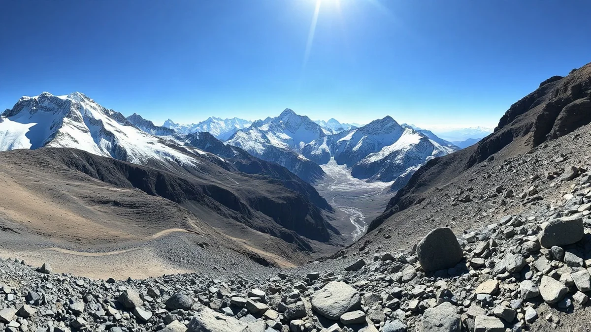
The European Space Agency (ESA) has announced the upcoming rollout of "Maps4SafeTravel," an innovative satellite-based technology initiative designed to enhance safety for trekkers in remote and challenging terrains. Scheduled to open to the general public in April 2026, the service will provide advanced navigation and tracking tools for hikers visiting the Solu Khumbu region in Nepal, serving as the legendary gateway to Mount Everest.
At the core of the project is an interactive three-dimensional mapping interface that gives travelers a precise, high-resolution preview of the mountainous topography, slopes, and potential obstacles before they even step onto the trail. In addition to the digital maps, the system integrates satellite communication technologies to monitor expedition locations in real-time, leveraging orbital observations to elevate environmental hazard awareness.
Practical Access and Current Limitations
Following a successful pilot phase, the satellite tracking service will become accessible in April 2026 for compatible devices at a monthly cost of 9.99 euros, equivalent to approximately 40 shekels. However, space agency officials emphasize that the automated hazard alert component is not yet fully operational. Consequently, space technology does not replace traditional safety protocols, meaning travelers must still rely on careful route planning, weather monitoring, proper altitude acclimatization, and experienced local guides.
For travelers planning an expedition to the Everest region, utilizing the system involves examining the pre-trip 3D interactive map to study route gradients and equipping themselves with a compatible satellite tracking device. While the technology serves as an excellent planning and orientation aid in remote areas lacking standard cellular reception, hikers must maintain rigorous adherence to established Himalayan safety standards.