Unit 9900 Transforms Frontline Warfare with Real-Time Intelligence
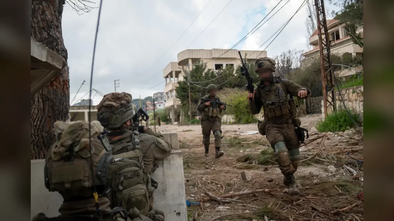
Unit 9900 has revolutionized frontline combat support during the war by embedding visual intelligence analysts and geologists directly with maneuvering IDF brigades and divisions. This proactive doctrine delivers real-time aerial analysis and terrain mapping straight to field commanders to neutralize threats swiftly.
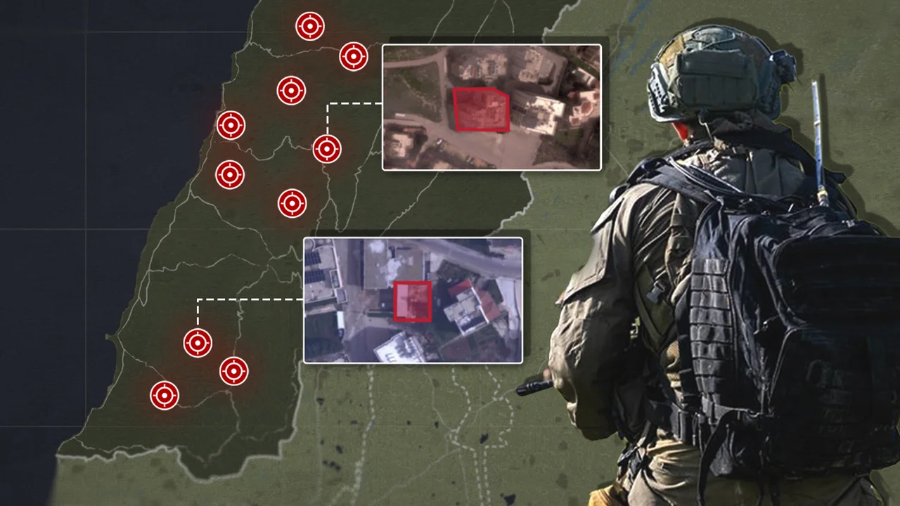
During military maneuvers, every second counts. Behind the combat forces, intelligence units must anticipate threats, identify enemy positions, and secure safe axes of advance. During the ongoing war, Unit 9900—the visual intelligence directorate of the IDF Intelligence Directorate—has revolutionized how critical data reaches the frontline. Reserve imagery analysts left the rear echelons to join brigades and divisions directly on the ground, processing aerial photographs in real-time and transmitting actionable intelligence straight to field commanders. Intelligence no longer waits for forces to request it; it moves alongside them.
A specialized team known as "Machatz" (a Hebrew acronym for visual intelligence and operational mapping) provides front-line troops with unprecedented levels of multi-layered data. As forces advance, the team analyzes terrain geology, aerial imagery, and mapping layers in real-time to synthesize a comprehensive operational picture. Reservists emphasize that the core innovation lies not merely in technology, but in a proactive operational doctrine. Rather than waiting for inquiries from the field, analysts anticipate gaps, identify threats in advance, and deliver complete situational assessments proactively.
In one critical incident, reservist Sergeant Major Sh. received intelligence indicators pointing to an imminent threat against a ground force. Within minutes, analysts pinpointed the hazard, enabling an airstrike to neutralize the booby-trapped structure and save soldiers' lives. In another instance, analysts worked through the night to isolate a specific building from which an anti-tank Kornet missile threat was anticipated, resulting in the successful destruction of the launcher before it could engage Israeli troops.
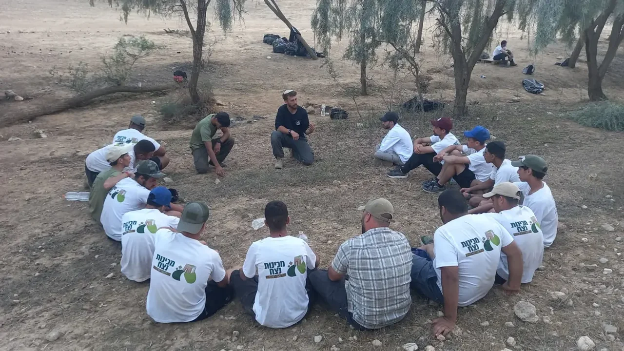
Beyond imagery analysis, the directorate integrates specialized experts, including military geologists embedded directly with maneuvering forces. These geologists evaluate soil composition, terrain topography, and environmental factors to advise commanders on optimal movement axes, helicopter landing zones, and tactical scenarios. This integration of high-level intelligence and specialized expertise into tactical echelons represents a fundamental transformation in modern combat support, ensuring that front-line troops receive the highest tier of operational backing.