Magnitude 6.4 Earthquake Strikes Off Solomon Islands with No Tsunami Threat
A magnitude 6.4 earthquake struck off the Solomon Islands at a shallow depth on Monday. USGS data confirms a green alert level with no tsunami threat or major damage reported.
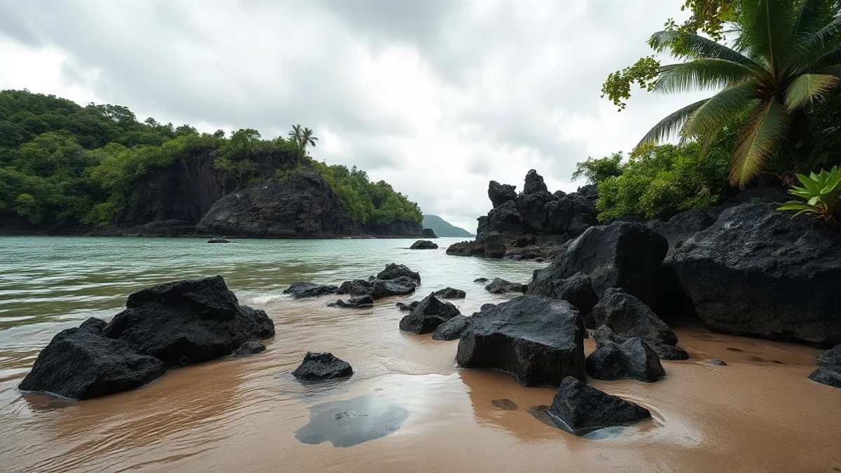
A magnitude 6.4 earthquake struck off the coast of the Solomon Islands in the South Pacific on Monday, hitting at a shallow depth of approximately 20 kilometers, according to the United States Geological Survey (USGS). The tremor was centered about 30 kilometers southwest of Lata in the Temotu province.
Tsunami Threat Ruled Out
USGS data indicated a green alert level, pointing to a very low probability of casualties or significant structural damage across the nearby islands. Pacific monitoring centers confirmed that no destructive tsunami threat was triggered by the seismic event.
Seismic Activity in the Ring of Fire
The Solomon Islands region experiences intense seismic activity due to its location along the Pacific Ring of Fire, where the Australian and Pacific plates collide in a continuous subduction process. This tectonic movement generates hundreds of earthquakes annually, including a historic 8.0 magnitude quake near the same epicenter in February 2013 that triggered destructive tsunamis.
Island Geography and Background
Located in the southwestern Pacific region of Melanesia, east of Papua New Guinea, the Solomon Islands comprise a population of approximately 700,000 residents across six main islands and hundreds of smaller atolls. Independent from the United Kingdom since 1978, the nation features rich cultural diversity, tropical rainforests, and coral reefs, alongside historical significance as a major World War II battleground.